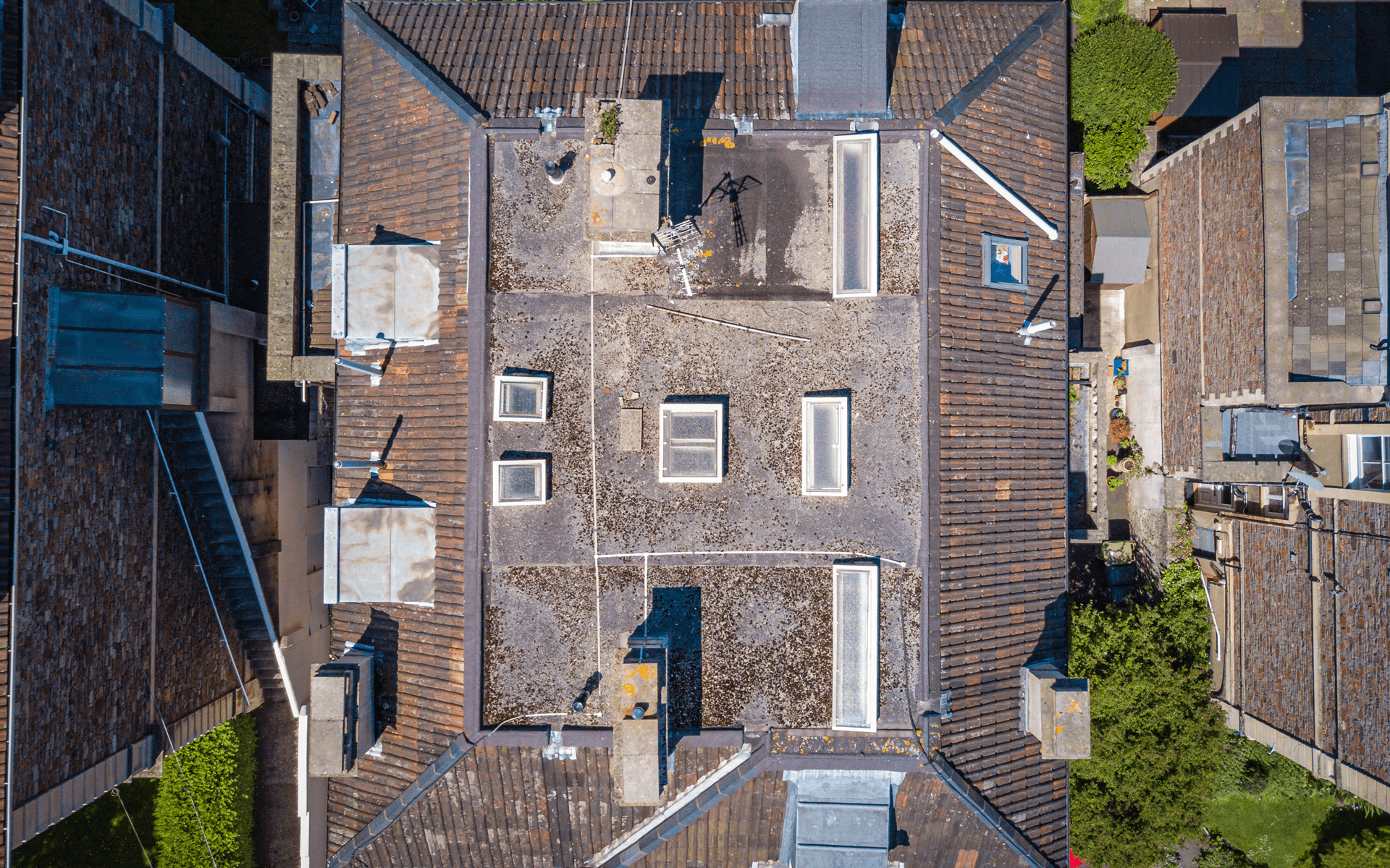
SURVEYS & INSPECTIONSBuilding, Roof & Chimney Inspections
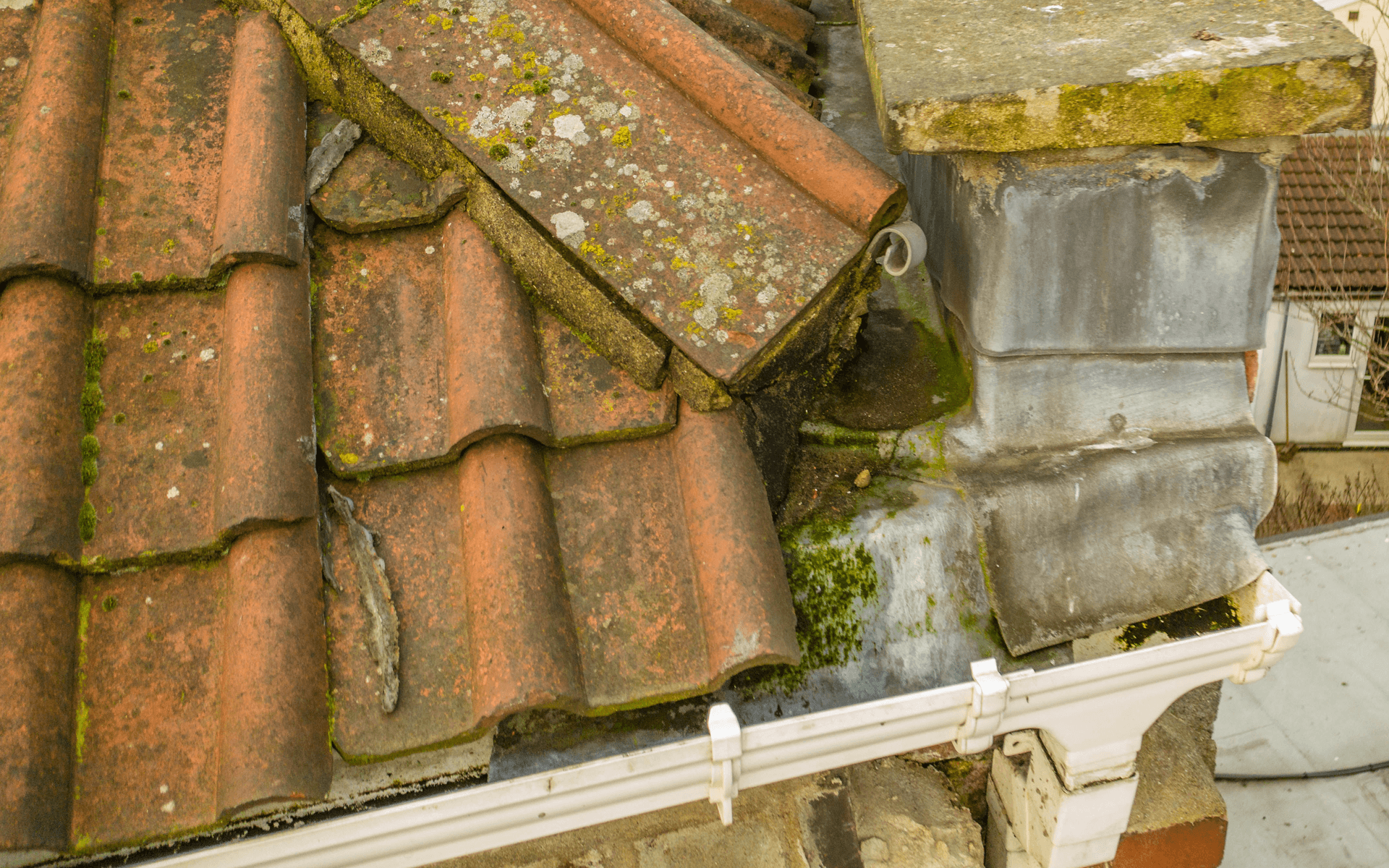
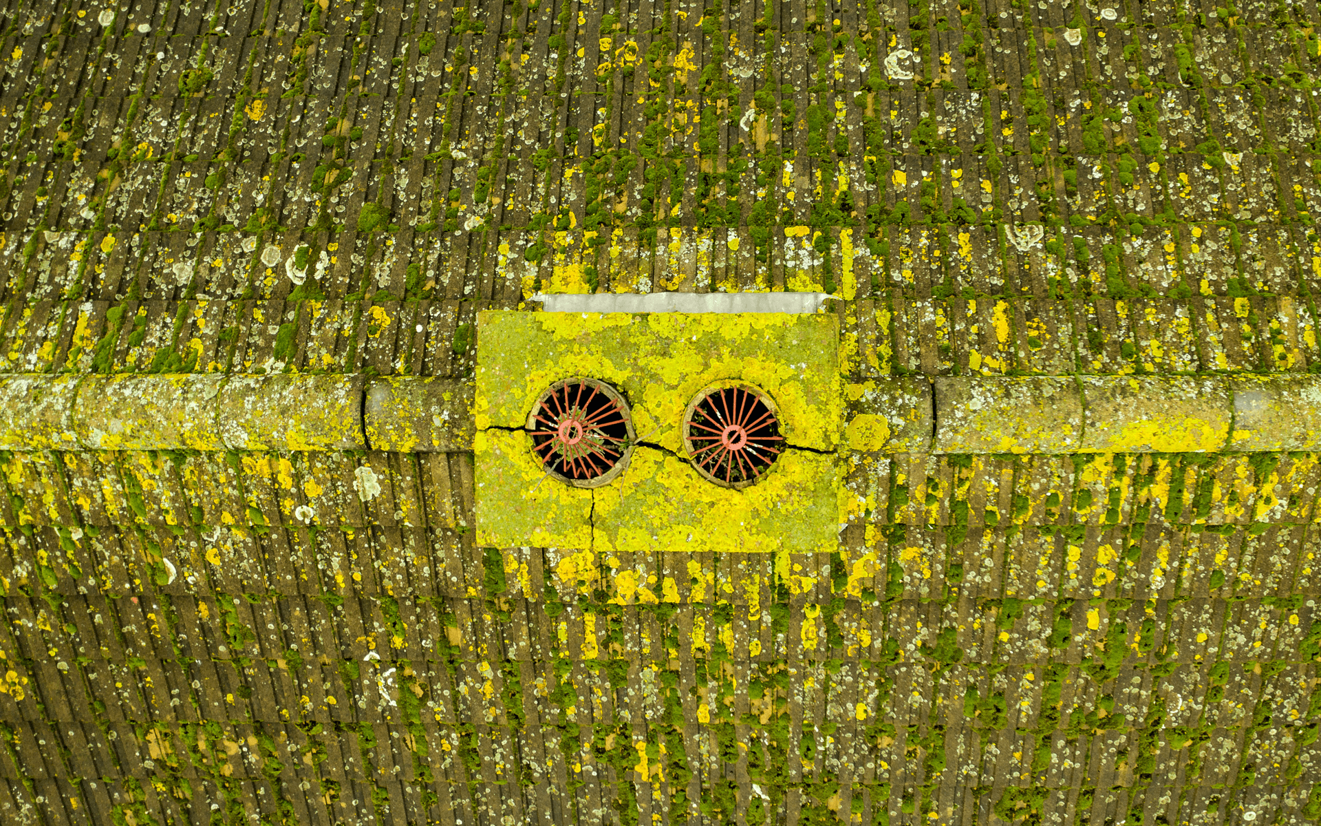
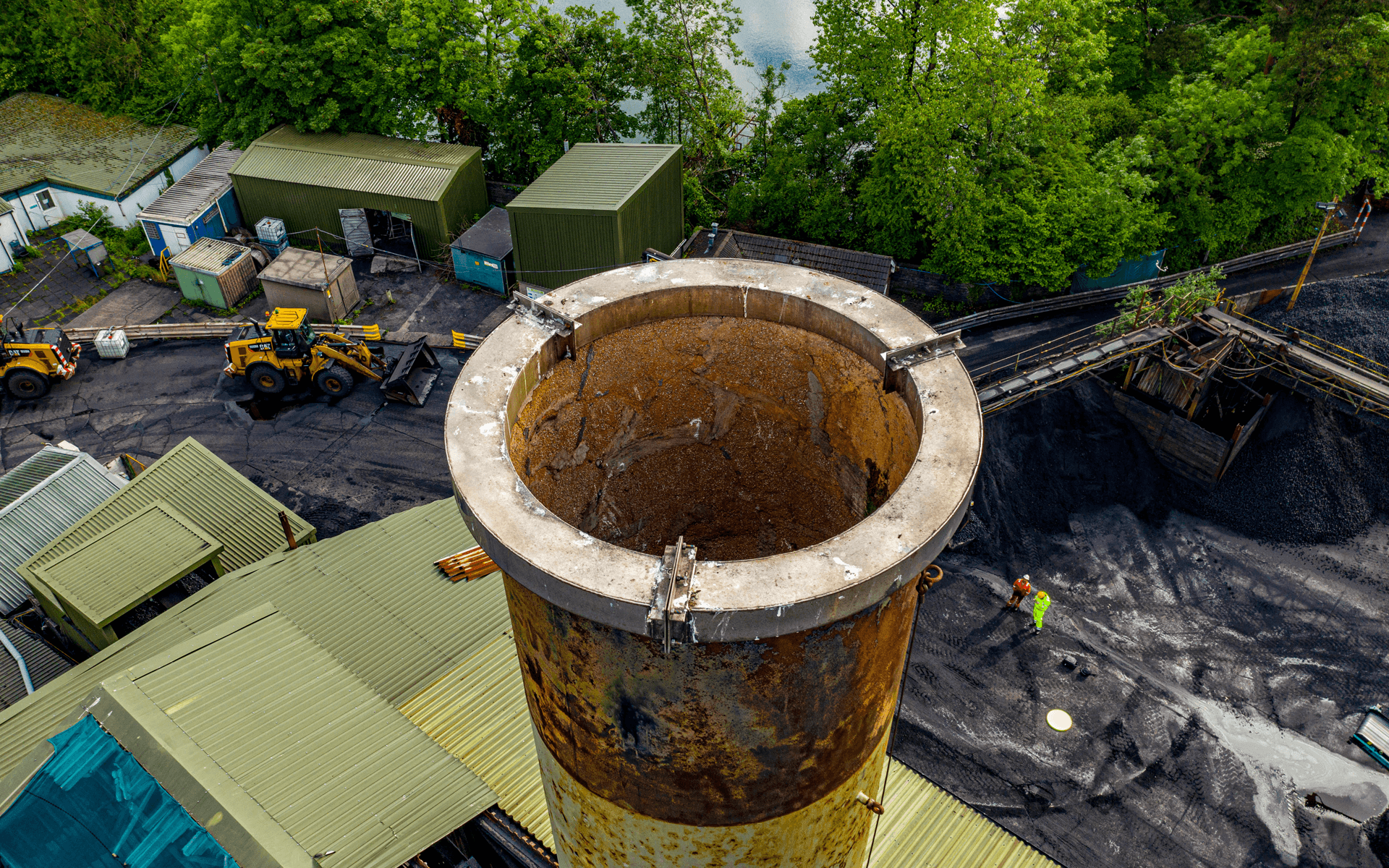
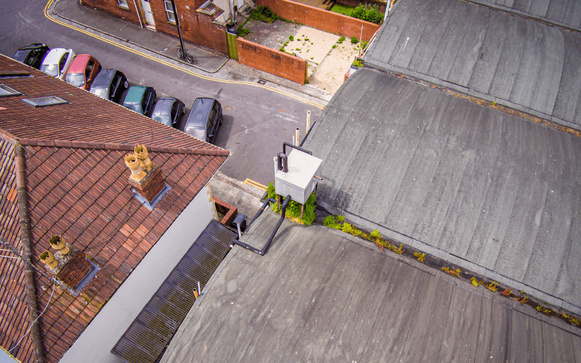
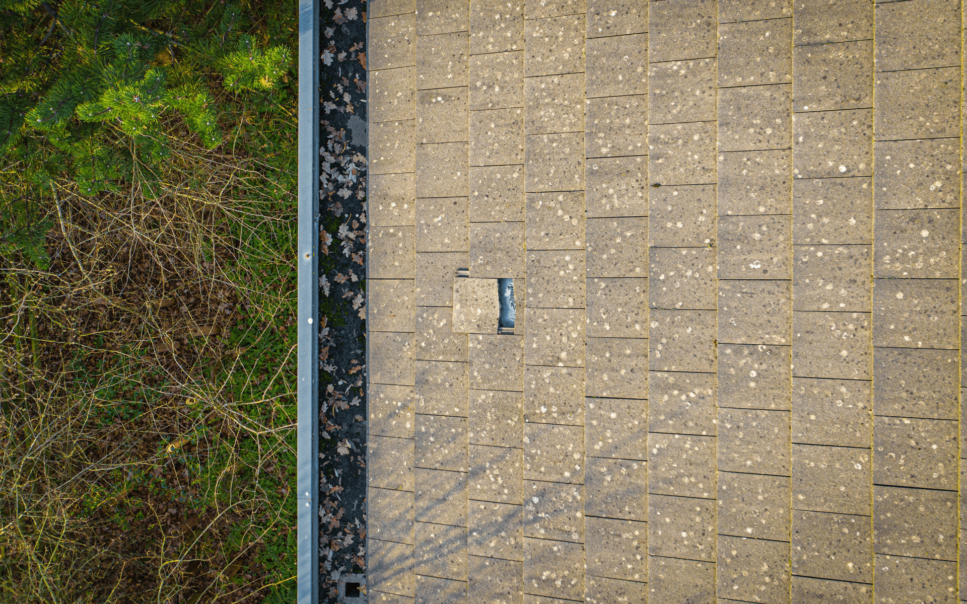
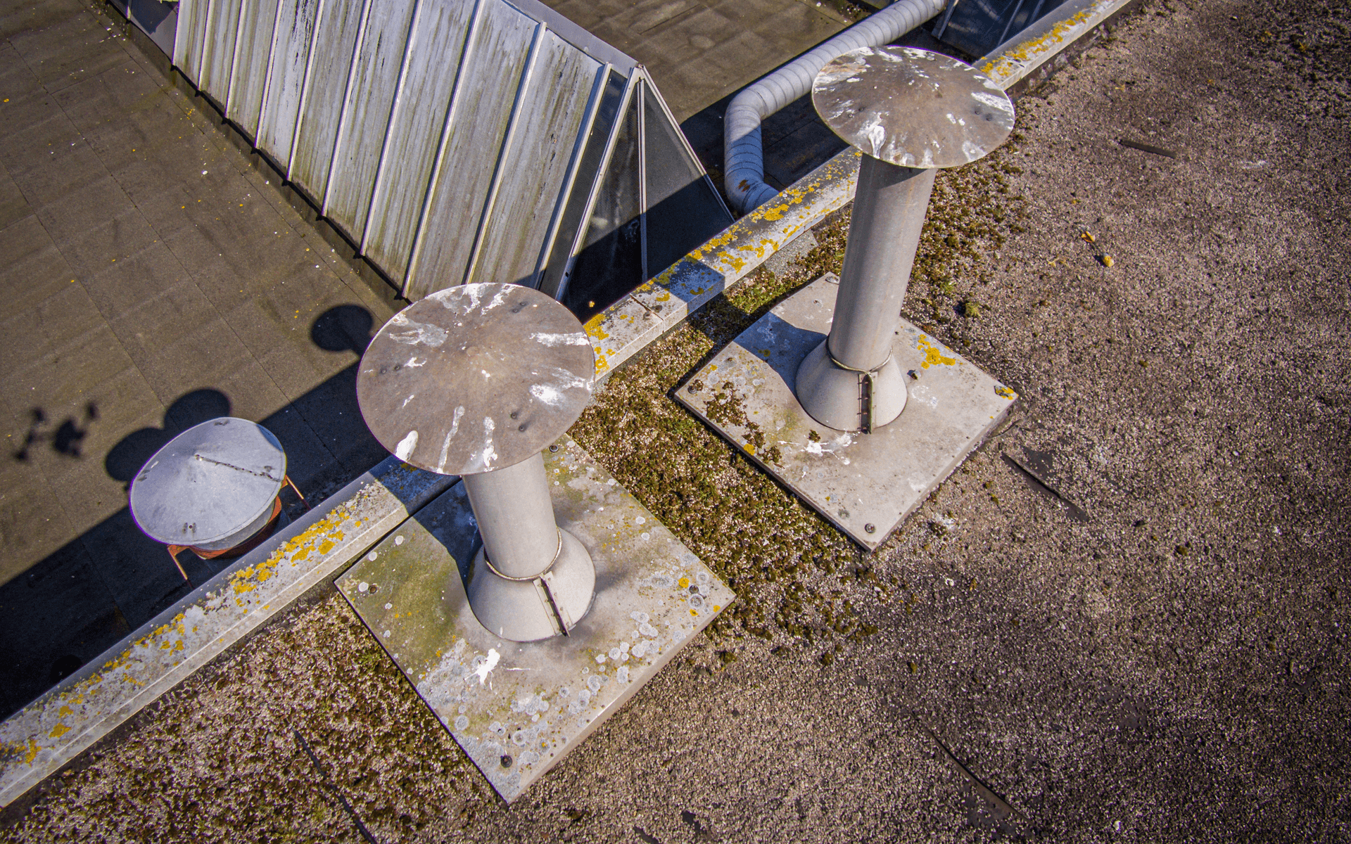
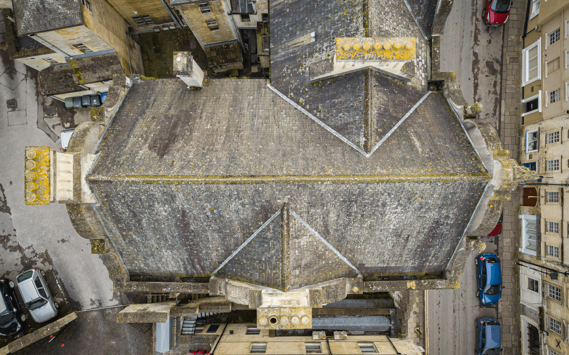
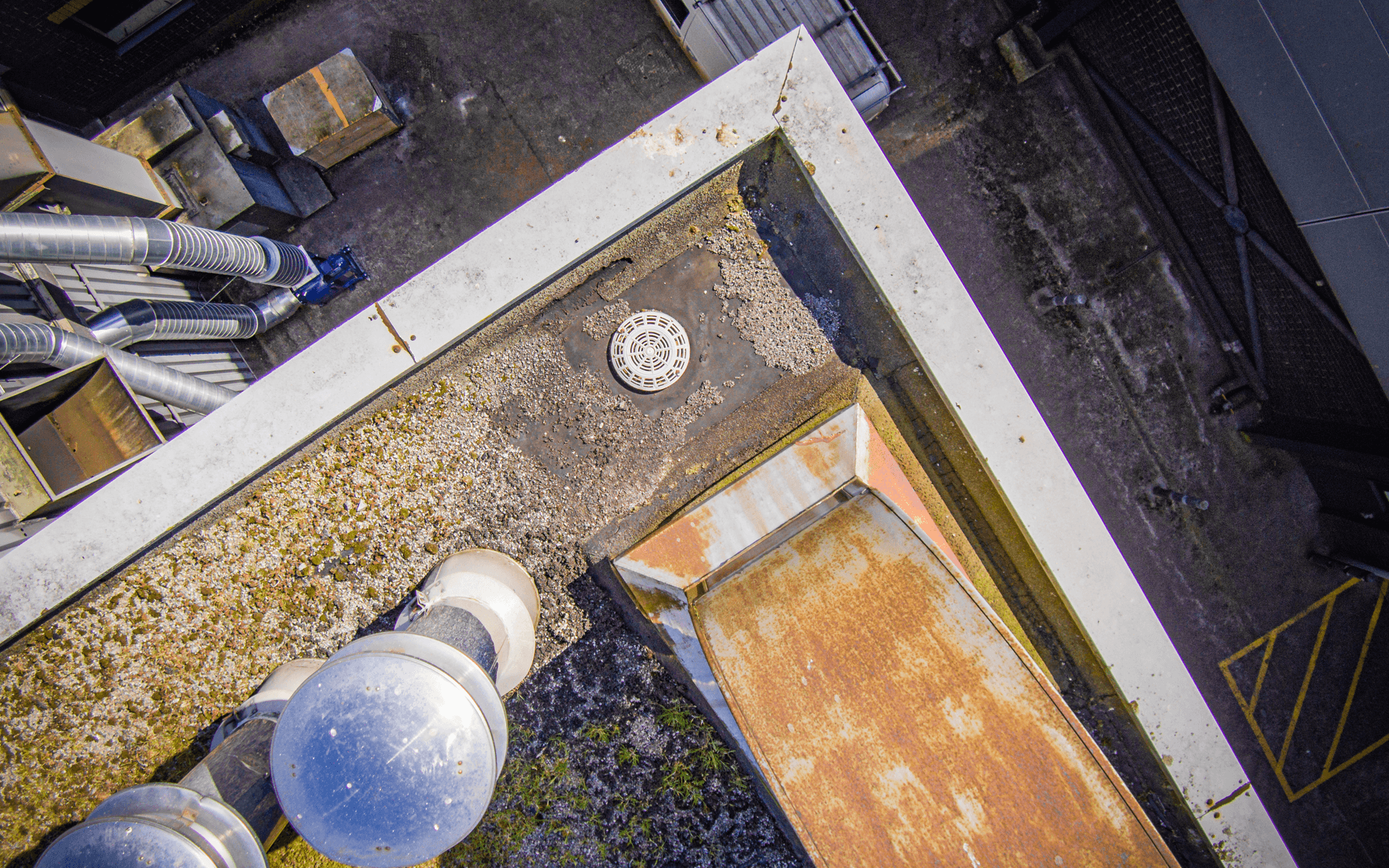
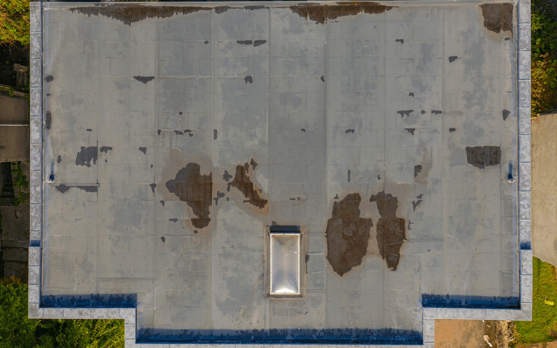
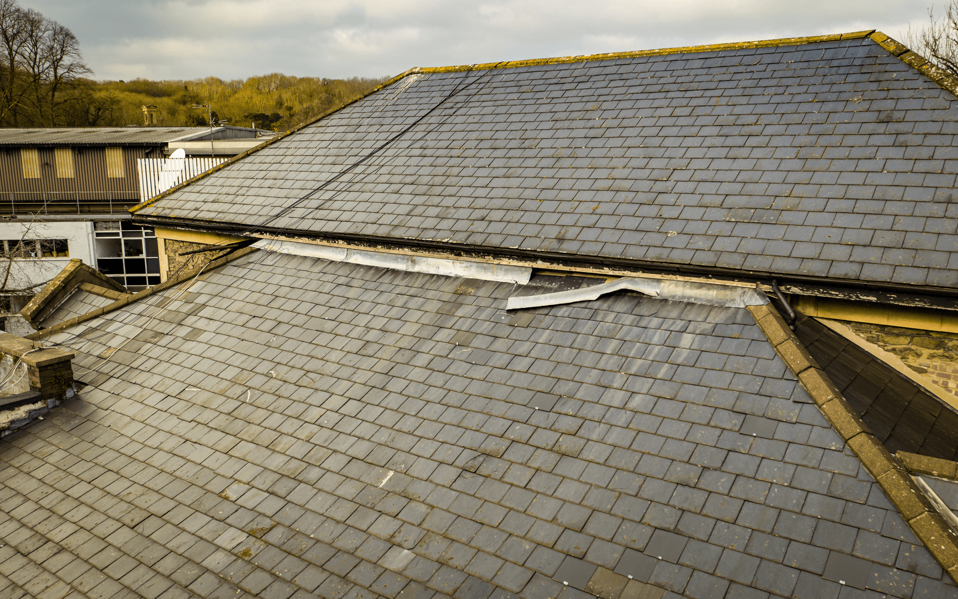
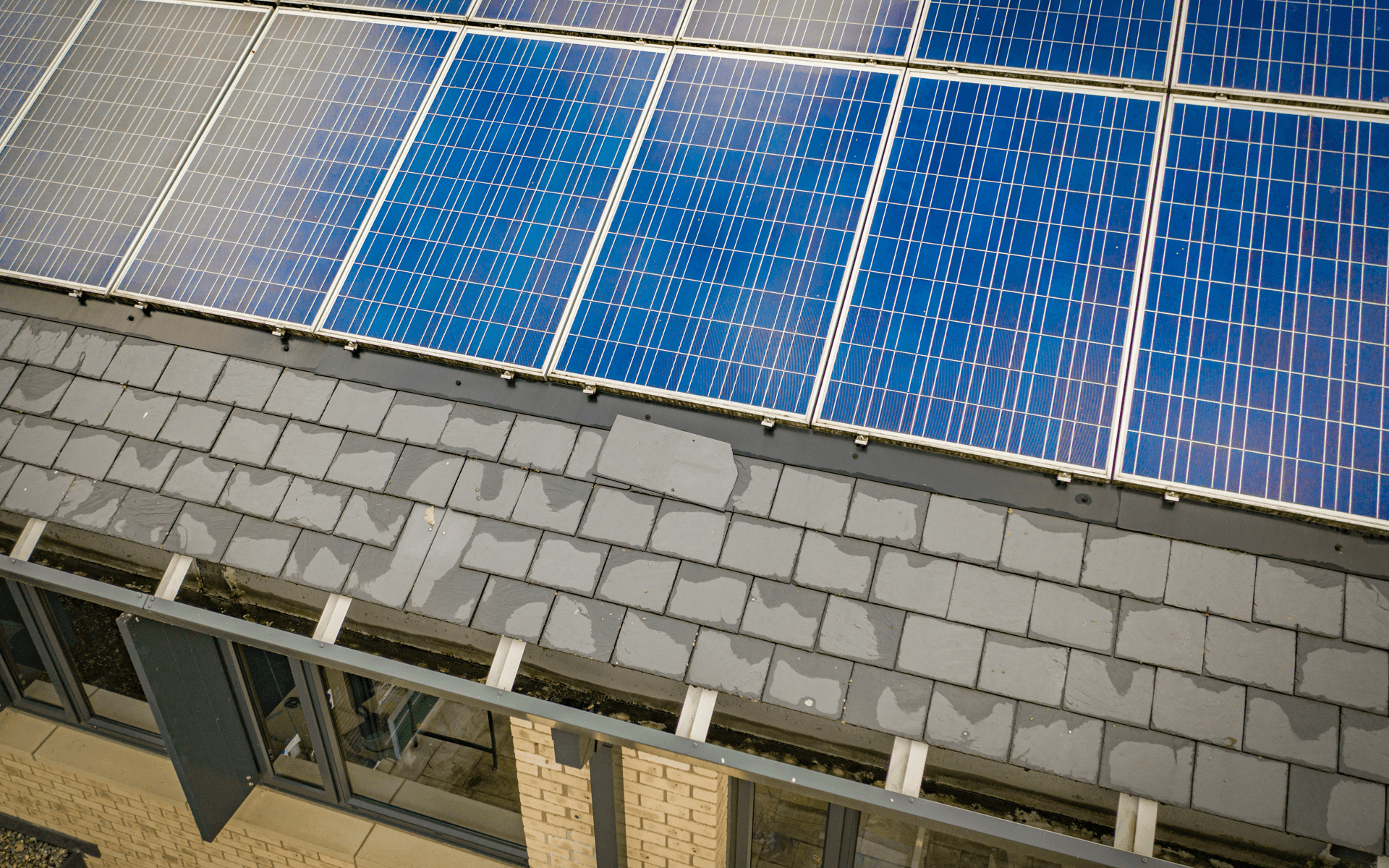
Using our aerial service is the most cost effective, safer and quicker way of inspecting a building, roof or chimney stack. The footage can be made available to you whilst we're on site or within 24 hours from our secure cloud server.
We can capture up to full 4K video and up to 20MP photos with our drones, getting up close to the structure that requires inspecting.
Our drones can reach areas where access platforms only offer a limited view, scaffolding is awkward, expensive or just not safe, or cherry pickers simply cannot reach.
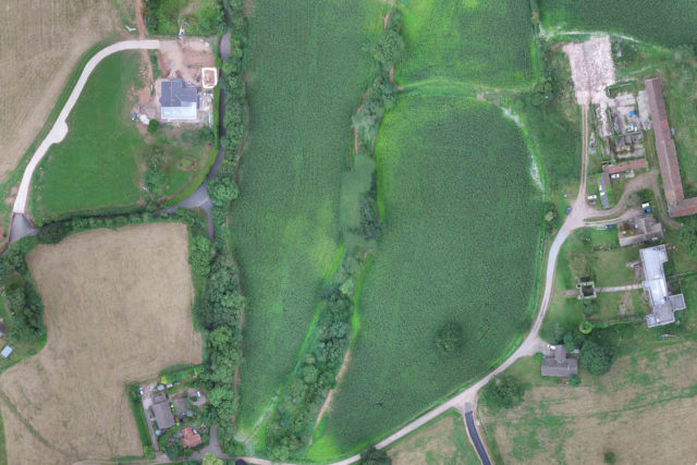
BETTER THAN SATELLITE SERVICESMapping & Surveying Land
Using specialist applications in conjunction with our drones, we can deliver you a map down to a resolution down to 1.4-inch (2cm) per pixel and that is more up to date than any satellite mapping services.
We discuss with you the required area that needs to be mapped/surveyed. Our drone will follow the most optimal path and capture all NADIR photos, which will be seamlessly stitched together within 24hrs (or less).
The mapping process can be repeated, enabling you to capture the progress on a continual bases on your project and show this off to your stakeholders, even if your projects stretches over days, weeks, months and years.
CINEMATIC 4K @ 30FPSThe Best Drone to Use
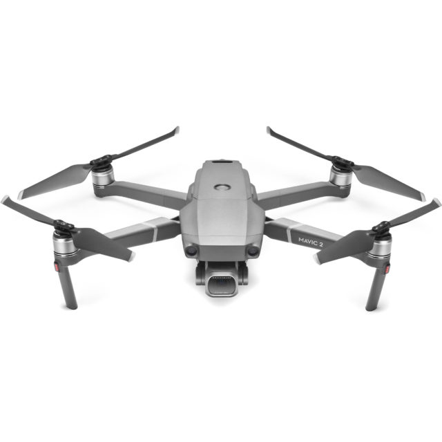
The DJI Mavic 2 Pro hasselblad camera has a 1-inch sensor which can capture Cinematic 4K video & up to 20MP photos. The quality is simply astounding for such a small aircraft.
Due to its small form factor it can be easily transported, it does not require a lot of space to set up and is fully deployed within 5 minutes if required.
We would liaise with you for your exact specification and make sure we deliver the required footage on time.
Due to its small form factor it can be easily transported, it does not require a lot of space to set up and is fully deployed within 5 minutes if required.
We would liaise with you for your exact specification and make sure we deliver the required footage on time.
